


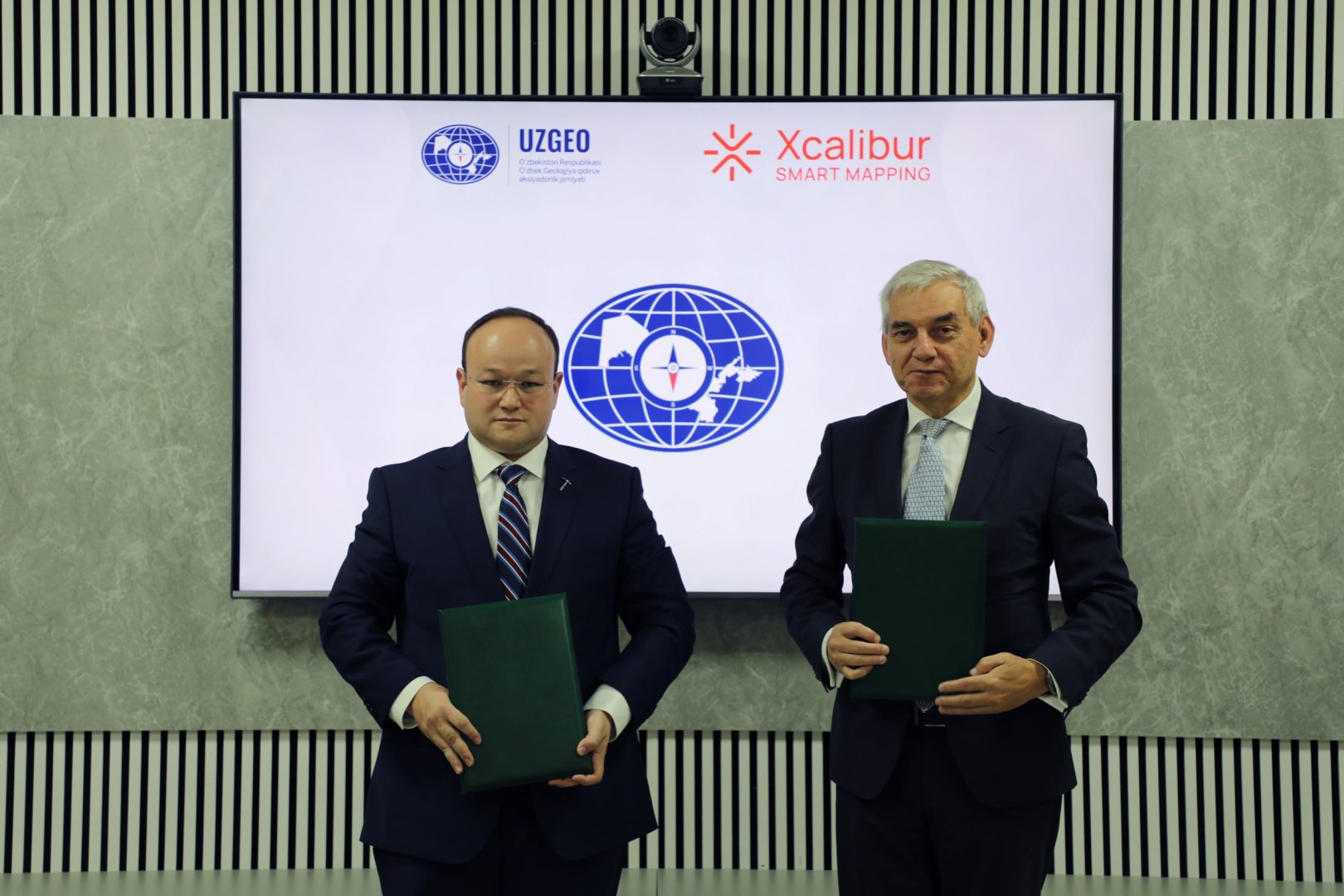

BAKU, Azerbaijan, November 4. Uzbekistan is expanding the use of advanced aerial geophysical surveys and artificial intelligence in mineral exploration under a new cooperation agreement between state-owned Uzbekgeologorazvedka and international company Xcalibur Smart Mapping.
According to Uzbekistan's Ministry of Mining Industry and Geology, the agreement provides for the deployment of modern airborne geophysical technologies and AI-based data analysis to identify prospective mineral-rich areas and discover new deposits, according to the company's announcement.
The surveys will cover mountainous and desert regions across Uzbekistan, including deep geological formations that have not yet been sufficiently explored. Aircraft equipped with specialized geophysical instruments will be used to conduct the research.
The planned technologies include iCORUS-iX magnetic, radiometric and gravity surveys, TEMPEST™ and HeliTEM™ electromagnetic systems, and FALCON™ gravity gradiometry. Some of these technologies will be introduced for the first time in regional airborne geophysical mapping in Central Asia.
The collected data will be processed using artificial intelligence and machine learning to develop digital 3D geological models of the surveyed areas. The models are expected to improve the identification of promising mineral deposits and help determine optimal drilling locations and depths, reducing the time and costs associated with geological exploration.
Moreover, the agreement includes international professional development programs, knowledge exchange and practical training for young Uzbek geologists and engineers. The training will focus on modern methods of processing and interpreting geophysical data.
Xcalibur Smart Mapping is a Spain-based international geophysical and geospatial technology company headquartered in Madrid. The company specializes in airborne geophysical surveys, geological mapping and the integration of geospatial data for mineral, energy and environmental resource exploration. Its technological portfolio includes airborne magnetic, radiometric, electromagnetic and gravity surveys, as well as AI-assisted data processing and 3D geological modeling. Xcalibur operates a fleet of more than 40 specialized aircraft and provides exploration services to governments and companies across multiple regions.


