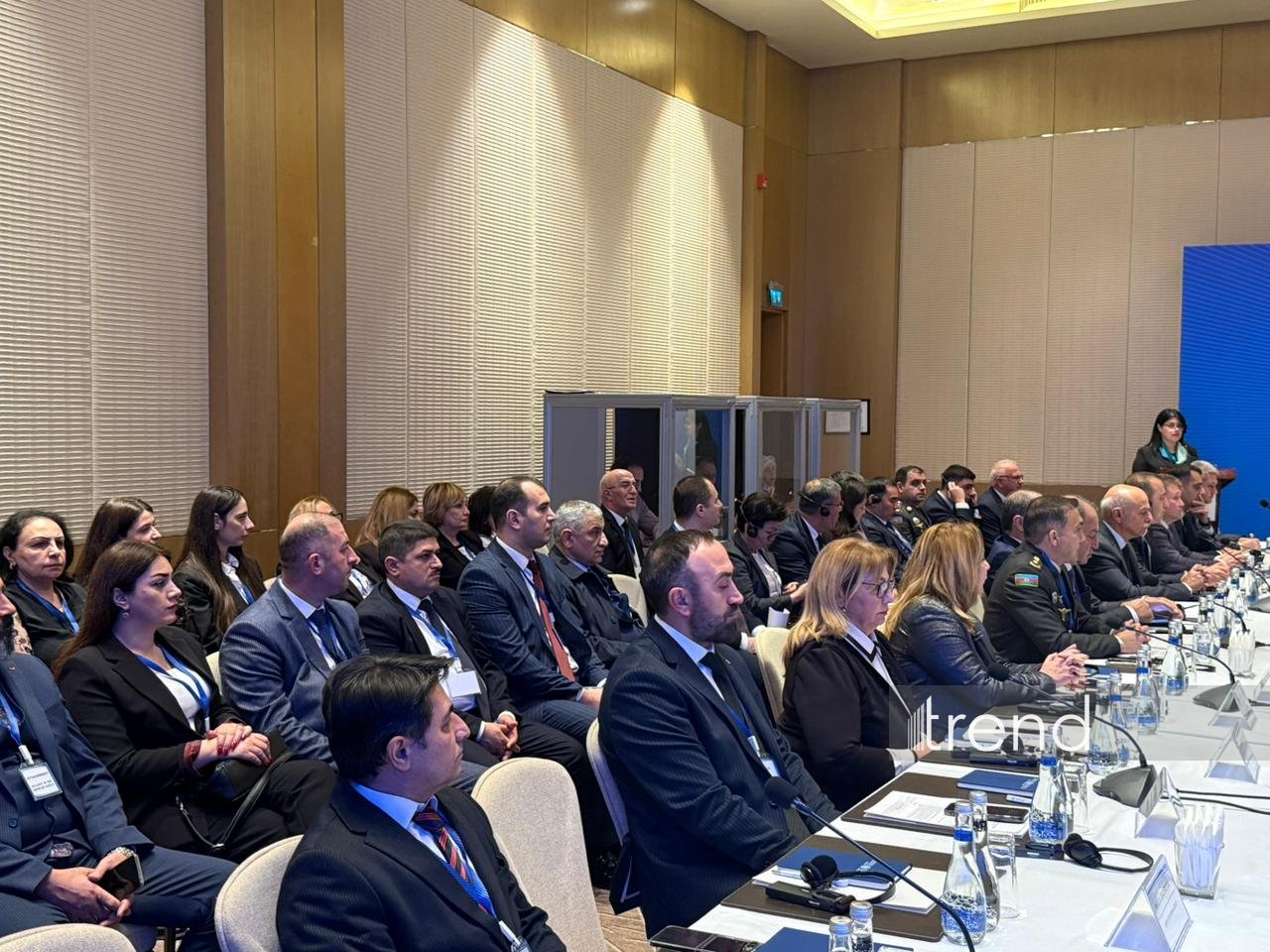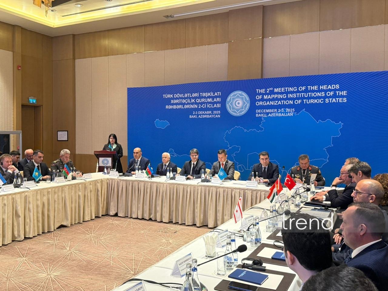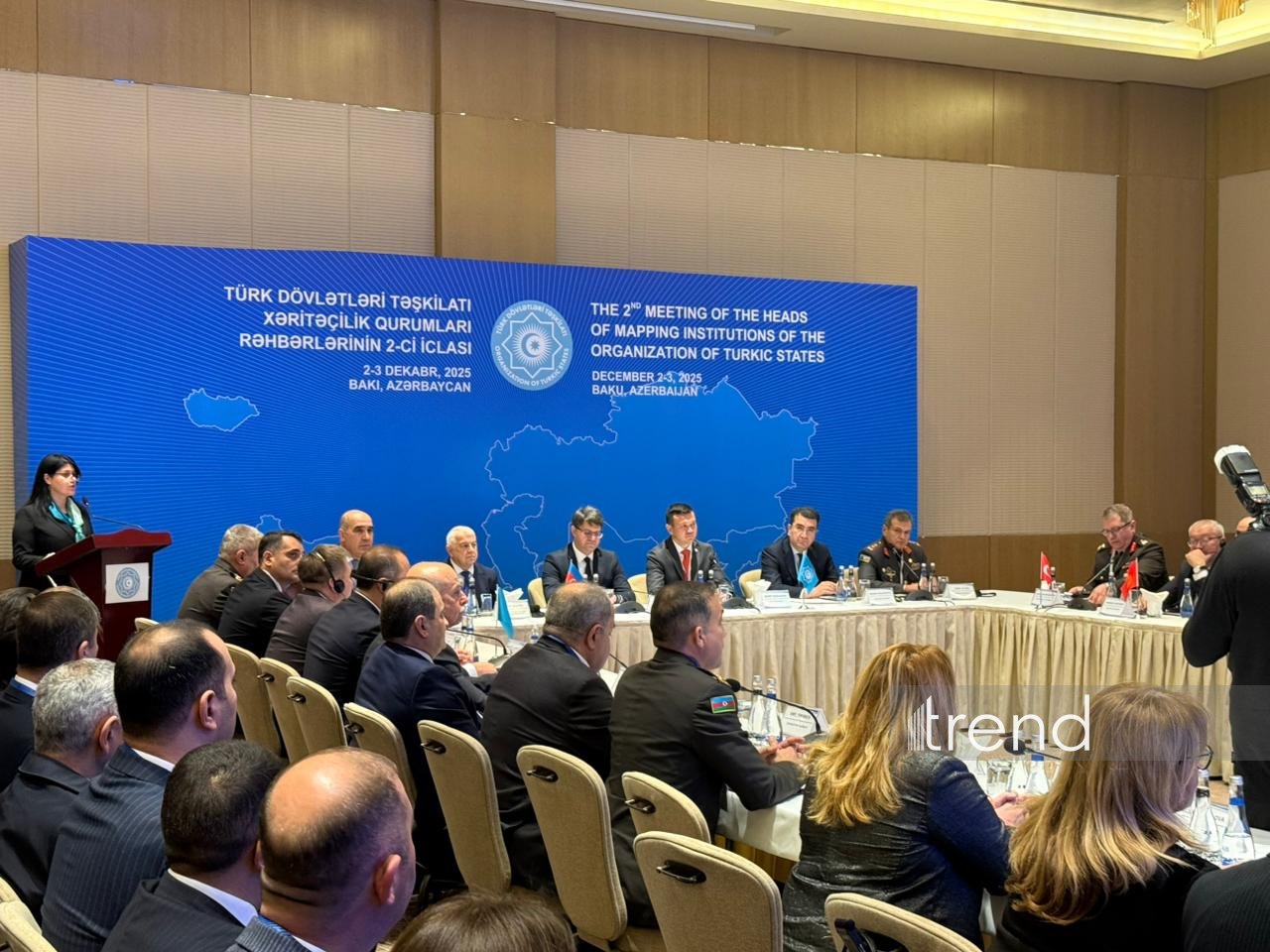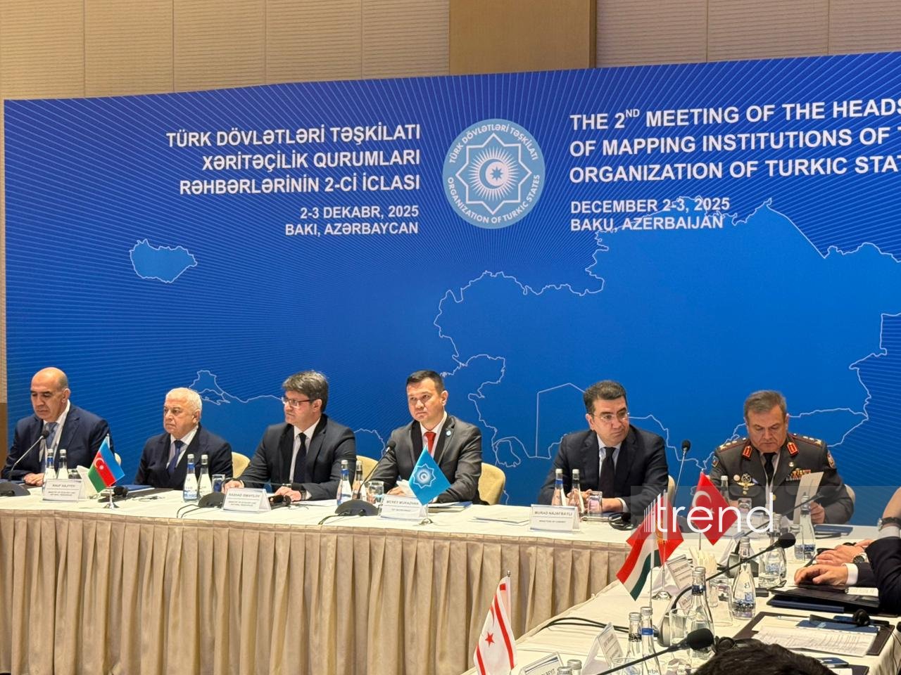

BAKU, Azerbaijan, December 3. The second meeting of the Working Group on Cartography of the Organization of Turkic States (OTS) held in Baku, Trend reports.
The meeting is attended by representatives of the relevant authorities of Azerbaijan, Kazakhstan, Kyrgyzstan, Uzbekistan, and Türkiye, as well as countries with observer status - Hungary and the Turkish Republic of Northern Cyprus in the fields of geodesy, cartography, land management, cadaster, remote sensing of the Earth, and geoinformation systems.
The Azerbaijani side is represented at the meeting by employees of the Ministry of Ecology and Natural Resources, the Agency of Geodesy and Cartography under the Ministry, as well as specialists from other relevant departments.
Speaking at the event, First Deputy Minister of Ecology and Natural Resources of Azerbaijan Rashad Ismayilov stated that the OTS is becoming not only a space for cooperation, but also an important center of geopolitical influence.
“We are delighted with the growth of the organization's international prestige. Our history, ethnic ties, and national spiritual values now unite us as one family,” he said.
The First Deputy Minister noted that the 12th Summit of the Council of Heads of State of the OIC, held in early October in the ancient city of Gabala, Azerbaijan, and the important decisions adopted at it serve as a vivid example of this:
"During the summit, a decision was made to deepen cooperation between our countries, and these steps have created a solid foundation for our meeting today. It is gratifying that cooperation is expanding in other areas within the CSTO, with regular and intensive meetings being held. This year has seen memorable successful events and decisions on various topics in Azerbaijan and other friendly and brotherly countries."
Ismayilov emphasized that today's meeting, which brought together the Organization's cartographic and geodetic institutions, also creates important opportunities for applying uniform standards at the regional level, strengthening information exchange, and expanding joint initiatives in the field of thematic mapping.
“The field of cartography in Azerbaijan has undergone a long and eventful development, enriched by scientific and technical achievements of different periods. We attach great importance to the further development of cooperation in the field of cartography, geodesy, and geoinformation systems,” he said.
Murad Najafbayli, Head of the Secretariat of the State Commission of the Cabinet of Ministers of the Republic of Azerbaijan on the Delimitation of the State Border between the Republic of Azerbaijan and the Republic of Armenia, said that the activities of the Working Group on Cartography are one of the important areas of cooperation within the Organization of Turkic States.
"Thanks to geodesy, cartography, and geographic information systems, information and business opportunities are opening up new prospects for our countries. Strengthening cooperation in this area is particularly important in the run-up to World Environment Day and the World Urban Forum, which will be held in Baku in 2026. This also demonstrates once again the steps taken by Azerbaijan towards environmental protection and sustainable development. I am confident that today's meeting will be successful and will open up new opportunities for our future cooperation," he said.
Najafbayli also noted that the OTS is our main international organization: “Because it is our family. These words accurately convey the spirit of our cooperation.”
Deputy Secretary General of the Organization of Turkic States Merey Mukazhan, in turn, noted that this meeting will be a historic milestone for the Turkic states and will lay the foundation for important cooperation initiatives in this area in the future.
“I am confident that the results of the second meeting of the Working Group on Cartography of the OTS in Baku will further strengthen cooperation in the field of military and civil cartography,” he said.
Mukazhan noted that a map of the OTS has been prepared, emphasizing that the Turkic states have made a significant contribution to science, mathematics, physics, astronomy, and cartography:
“Thanks to cartography, important information has been collected, and significant works have been created in the Turkic states throughout history. These maps are considered to be among the oldest examples of world cartography,” he added.